


Widespread travel disruption is expected across the UK this morning, as yellow weather warnings for ice, fog and snow remain in place.
The Met Office issued the alerts as temperatures were expected to stay well below freezing overnight and combine with wintry showers to create icy conditions.

The yellow warnings are in place until later this morning for northern and southwestern Scotland, Northern Ireland, northeastern England, the Midlands and South West as well as London and the South East.

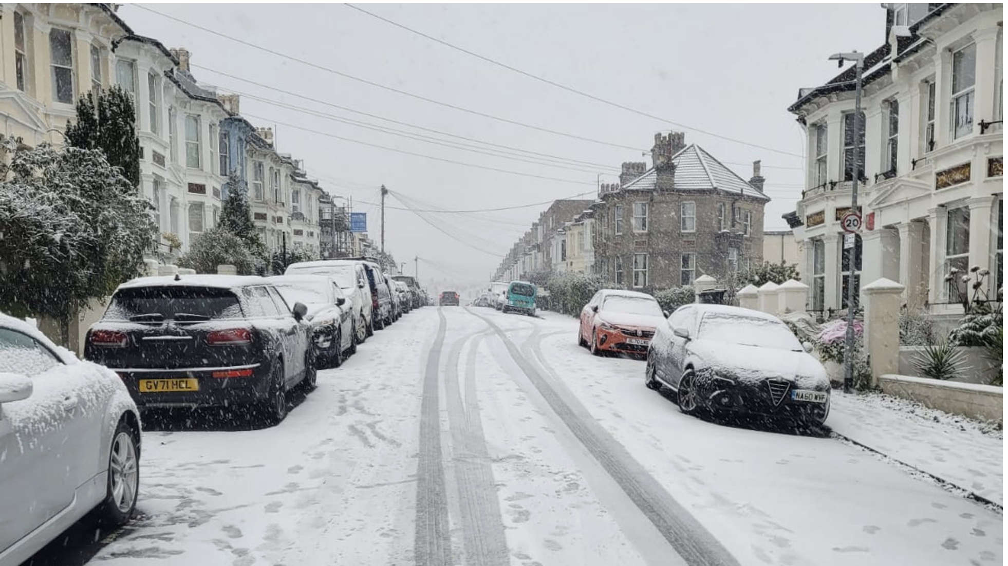
Haywards Heath, Sunday (December 11)
But there is also a snow and ice warning for the top half of Scotland and the coast of northern England, which continues through to midday on Thursday.
Met Office meteorologist Rachel Ayers said that although cold temperatures, freezing fog and wintry showers are expected to last through the week, cloud cover could prevent a return of some of the more extreme temperatures experienced in recent days.
There is a possibility of slightly milder conditions arriving next weekend but it is too early to be certain, she said.
Gatwick and Stansted were among the airports affected, both closing their runways to clear snow.
Passengers travelling today should check the status of their flight with their airline before leaving for the airport.
News UK, publisher of The Sun and The Times, said the weather had affected its printers in Broxbourne, Hertfordshire, and this could mean delivery delays in "many parts of the country".
Motorists in the southeast of England were warned by National Highways not to travel unless their journey was essential on Sunday evening, as up to 10cm of snow was forecast.

Preston Park, Brighton
The Met Office said that Kent and Sussex were likely to be worst-affected, with areas most exposed - such as the North and South Downs, and higher ground - likely to see more significant accumulations.
In Kent, a number of major roads were badly-affected on Sunday, including the M2, M20 around junctions eight and nine, the A21, and the A249.


National Highways duty operations manager for the region Gina Oxley said heavy snow was expected to continue in the area until later this morning.
"We have been out gritting throughout the afternoon and we're continuing to treat routes so we can reach the worst-affected areas and support our customers with their journeys.
"For anyone thinking of travelling tonight, our advice would be not to unless absolutely essential as heavy snow is expected to continue until 9am."
On the trains, a number of operators warned services could be affected on Monday morning.
Thameslink said the severe weather had frozen the materials needed for the weekend's engineering work, meaning that it would take longer to complete and affect some services.
Greater Anglia said passengers should not travel until after 8am if possible, as did c2c, saying that safety checks needed to be carried out following the bad weather.

(c) Sky News 2022: UK weather: More snow, ice and freezing fog set to cause Monday morning rush-hour chaos
 Motorcycle Rider Sentenced Over Collision Near Lewes
 Foodies Festival Returns To Brighton's Preston Park This Weekend!
 UK Weather: New Met Office Storm Warning For Much Of England And Wales After Lightning And Heavy Rain
 Hastings Police Make Social Media Appeal To Council Over Parking Woes
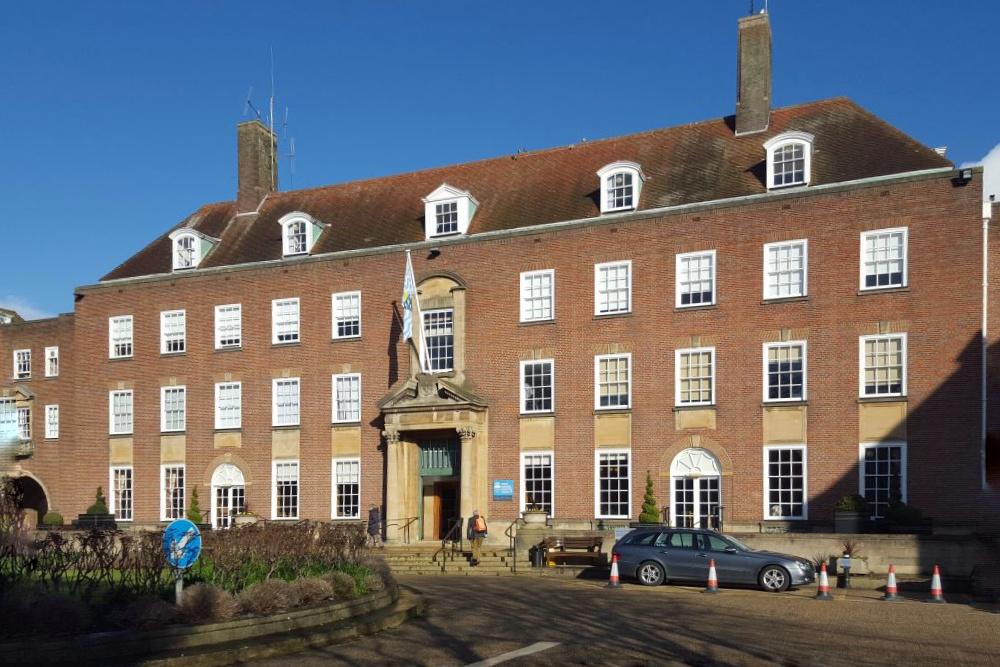
 Horsham Council To Hold Electric Vehicle Event In Bid To Reduce Emissions
 Rogue Trader Jailed For Conning West Sussex Residents Out Of £149,000
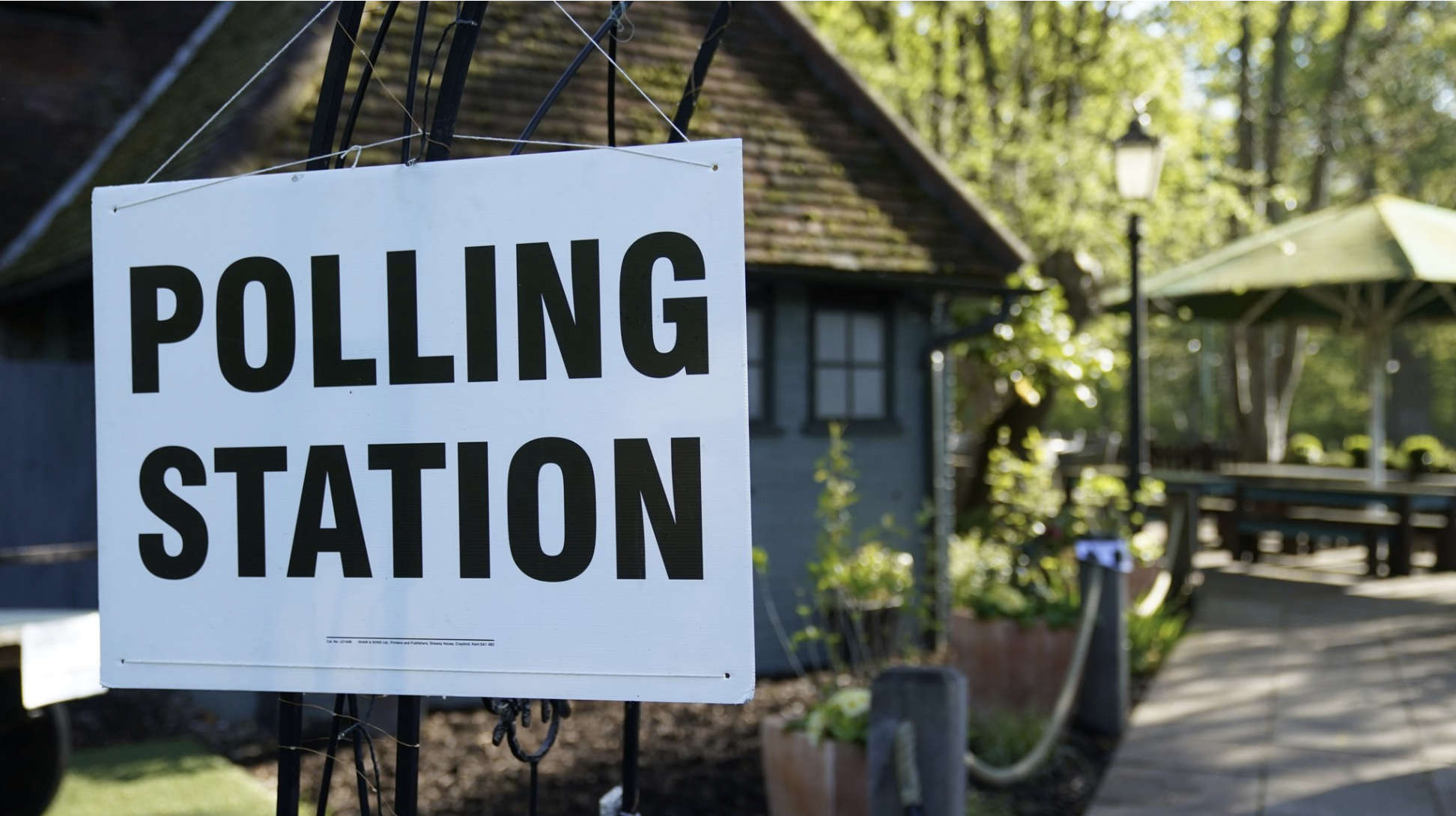 Polls To Open For Voters In England And Wales
 Over 4,100 Sussex Children Living In Temporary Accommodation
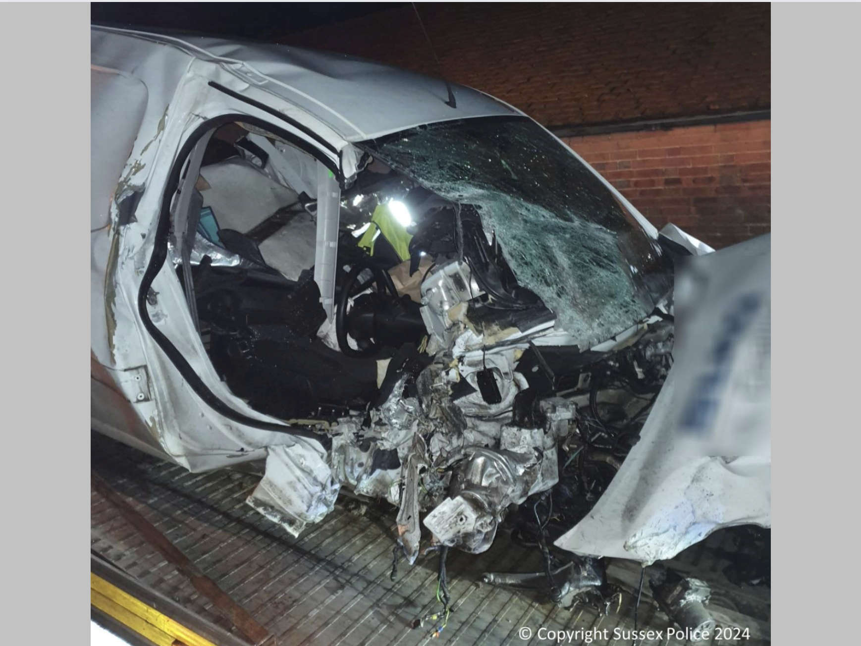 Man Sentenced For Causing Head-On Collision Near Mayfield
 Man Jailed For Raping Woman In Brighton Nightclub